Choose the question
Identify the asset, existing information, customer decision, port contact and available operating window.
PORT SOLUTIONS / SURVEY · INSPECTION · INTEGRATION
For port maintenance, engineering and operations teams. Start with one berth, quay section or underwater question, then define the evidence and equipment needed to answer it.
THE CUSTOMER DECISION COMES FIRST
Where to survey again. Which asset needs a closer inspection. Whether a sonar target needs recovery. We help turn these questions into a practical scope, with a named delivery team and useful outputs.
Has the seabed changed where you operate?
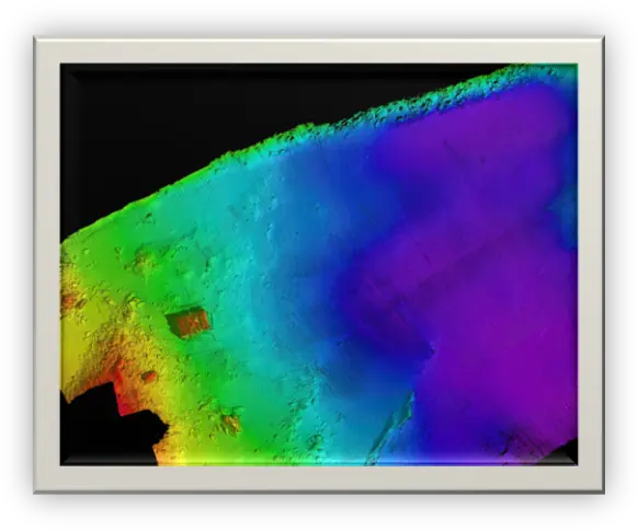
Review depths, sediment accumulation or suspected scour beside quay walls and within a defined berth or approach area.
Agree the survey specification, datum and accuracy with the port’s survey team.
What can you learn when the water is unclear?
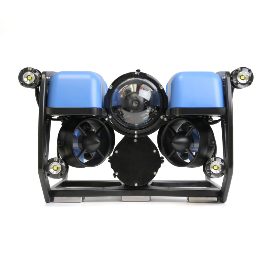
Investigate quay faces, piles, moorings, intakes or other submerged assets where access or visibility makes inspection difficult.
Structural conclusions remain with the appointed engineer; imaging alone does not establish integrity.
What is the object, and where is it?
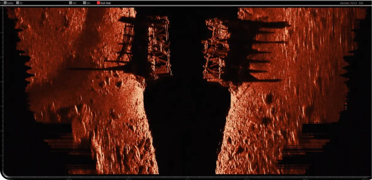
Follow up a reported submerged object, a survey anomaly or a suspected obstruction within a clearly defined search area.
Search coverage and detection limits are agreed in advance; a scan does not certify an area clear.
CANDIDATE TECHNOLOGY / NAMIN
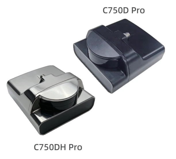
The Namin brochure presents C750D and C750D Pro imaging sonars for underwater observation and platform integration. They are candidates for investigating port structures and selected targets when optical visibility is limited.
These are imaging sensors. A depth-survey specification needs its own bathymetric measurement system and quality checks.
A FOCUSED FIRST PROJECT
A proposed pilot can combine a surface survey and close-up investigation of selected findings. Each system is deployed separately, with the operating team and scope agreed in advance.
Identify the asset, existing information, customer decision, port contact and available operating window.
Specify coverage and positioning, select the vessel and sensors, and agree which findings need ROV inspection.
Deliver the agreed data and evidence, review limitations, and decide whether the method justifies further work.
Covered area, position and depth requirements, required asset or target evidence, usable data formats, reporting, port access, budget and responsibilities.
The UWL-led initiative provides a foundation for vessel, survey-payload and remote-operation discussions with European waterway customers.
Explore the Survey Vessel projectMarine RoboTech brings together automation, embedded systems and marine integration. Remote operation and Marine Awareness can be assessed where the port use case requires them.
Explore integration servicesYou do not need to select a robot first. Share the asset or location, current approach and the information your team needs.
Sweden-based requirements assessment, technology selection and integration coordination.
info@roboticshub.seEuropean customer and pilot contact for the UWL-led Survey Vessel project.
View Peter’s project contact